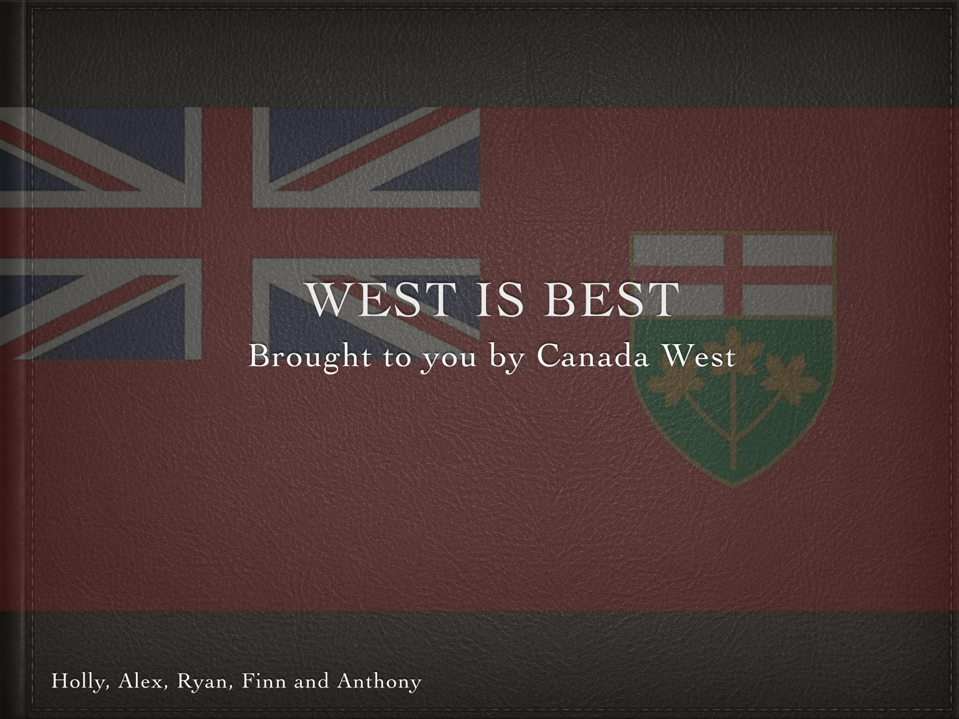
For the past three weeks we have been learning about the Canadian confederation in 1867. If it was up to us canada wouldn’t’ve been created.
Our first milestone was to write on the factors leading up to confederation after reading several textbook pages on it. For this milestone I think I could’ve wrote more on the topics I talked about.
The third milestone was to present our “perlimanary proposals” in our groups (my group was Ryan, Anthony, Holly and Alex), to the rest of the class. Our six demands for confederation were: have the capitol city in Ottawa, build a railway to connect all the colonies, purchase more land from the HBC, have the main languages to be English and French, to annex the rest of canada, and receive money for building canals through the Great Lakes. I think we could’ve made our demands easier to understand as they were a bit confusing with our wording.
The fourth and arguably the most important of this project was to create a green screen video showing our improved demands for joining confederation. We were given time in class to work on our videos. I was responsible for the editing of the videos, I think I could’ve done a better job than I did, but I ended up getting annoyed at iMovie and just wanted to get the project done quickly. Because of that the final product was not as good as I would’ve liked.
At the end of this project our teacher considered all Final Proposals and created a bill. Each colony was then given one vote to decide if they should or shouldn’t join confederation. It ended up with five of the six colonies voting against confederation, as they found that it wouldn’t meet their demands.
As for the competencies:
Evidence: How do we evaluate evidence to decide if it is adequate to support a historical conclusion?
Create: What literacy skills am I using to write, speak, and represent in the texts I create?
I used evidence to decide wether or to whether not join confederation.
I used create create to create the green screen video for the project.
-Finn


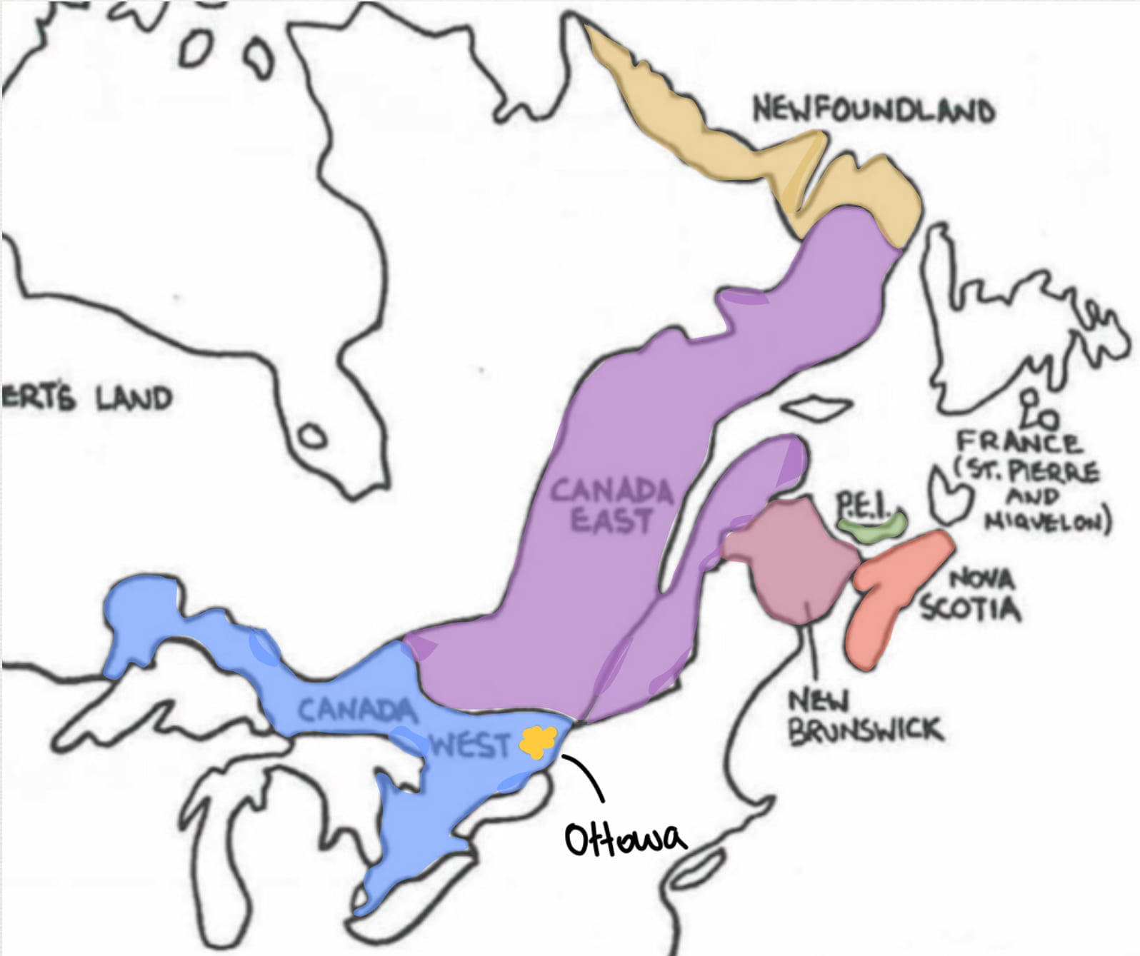
This is pretty nice, short, and gets the point across. My only suggestion is to make the “west is best” thing look better, as the bars at the top and bottom look odd, and to use a map that is actually geographically correct.