Driving Question and Problem: How to provide more current and useful information to people who use trails. This would improve knowledge and safety on the trails for bikers and hikers. It would help reduce the number of people who get injured or lost. It would also increase enjoyment of the trails by providing information on topics like points of interest, wildlife and vegetation.
My Big Idea: My Blue Sky solution is to add a QR code to the trailhead sign and when the person uses their smartphone on it, the website shows up on their screen with more information. The website could be updated by trail users and park management staff and rescue services. Updates could include new hazards spotted or needing to be fixed, seasonal vegetation and interesting points.
Content and Subject Matter Expert: I do a lot of mountain biking on Mt Seymour so I know a lot of the biking trails and existing signs. I also hear about people getting lost and hurt on North Shore mountains so I thought this would be useful. I filled out my Blue Sky Design Project Pitch form and it got approved. My main subject matter expert was Kevin Woodhouse, the Outdoor Education Manager at the Sea to Sky Park Services. He was very helpful and said it was a “well thought-out project that can make a difference.” Here are some of the questions I asked and his answers:
================
1. What type of information do you think that hikers and bikers would be most interested in learning about from a QR code on a trail sign?
· Hikers and Bikers have some overlap, but typically are interested in different information.
Hikers:
a. Current information on trail conditions (snow, mud, etc.)
b. Recent wildlife spotted, including birds…birdwatchers would love it
c. Flowers in bloom
d. Note that cellular service is inconsistent.
e. Pick up dog poop reminder!
f. Safety warnings
i. What to bring (although, at the trailhead is too late usually) http://www.northshorerescue.com/education/what-to-bring/
g. Highlights
h. Sunset Times and weather
i. Typical trail duration and difficultly level
j. What to do if you get lost
Avoid Getting Lost
Bikers:
k. Trail Conditions, length and difficulty level (http://www.trailforks.com/region/mount-seymour/)
l. A map from the trailhead with a you are here
m. Sunset Times
n. What to bring
2. What are some seasonal wildlife and flowers on the Mt Seymour trails eg spring-summer?
a. Spring (lower mountain)
i. Skunk Cabbage flowering
ii. Grouse begin thumping
iii. Varied Thrush are making whistling sounds
iv. Salmonberries flower and produce berries
v. Thimble berries flower and produce berries
vi. Bears become active
b. Spring (Upper Mountain)
i. Snow is melting!
ii. Swallows return from migration to nest
iii. Frogs and Salamanders lay eggs in the ponds
c. Summer (Lower Mountain)
i. Red Huckleberries
ii. All wildlife active
d. Summer (Upper Mountain)
i. Blueberries everywhere in August
ii. Indian Paintbrush blooms
iii. Queens Cup Lily blooms
iv. Copper-bush in flower
v. White-Flowered Rhododendron blooms
vi. Bears and birds come to eat the blueberries
3. Is there anything that could be added to a trail sign that would help rescue services find hikers or bikers if they are hurt or lost and can’t figure out where they are?
a. Information on what to do if you become lost is key. Hikers account for far more rescues than mountain bikers. The knowledge of how not to become lost, and what to do if lost is huge in helping Search and Rescue (SAR).
b. As for finding the where they are, if SAR could know who has been on certain trail that day it could prove very helpful.
-So maybe on the blog there could be a strong reminder IF YOU GET LOST, WILL ANYONE KNOW WHERE YOU ARE? A prompt too call or text 2 people while you still have reception to tell them which specific route you are about to travel, who’s with you, and when to expect you back.
-An optional section could exist to put your name and the time you began the trail. This however allows people a way to not be properly prepared by leaving there intentions with people they trust. Some hikes have a book at the trailhead for this purpose. It would need to be clear that no one is checking to see if you have come out safely.
4. Other suggestions.
a. The local trailheads that your project would prove most useful are the Mt Seymour Trail and the Dog Mountain trail on the upper mountain. This area accounts for far more traffic with unprepared hikers and more rescues than any other in the area. It also has the most variable and unexpected conditions.
=========================
I also had input from my uncle and my neighbour’s dad who do lots of hiking. They both thought it was a great idea. My neighbour said her dad mentioned it to someone from North Shore Rescue and he thought it was a great idea too. A firefighter said it would be good to have these types of signs along the trails to help people understand where they are because sometimes when people get in trouble they can’t tell rescuers where they are located.
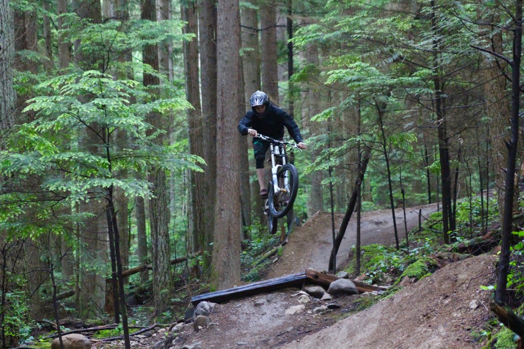
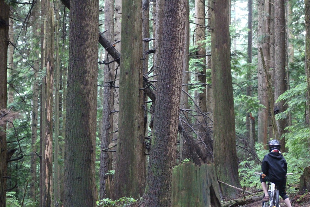
Website Prototype: So now it was time to design a prototype website that I could use for the project. I went biking on Mt Seymour to get some photos of the trails to help with the project. Here is me on the trail and the second photo is a hazard because the tree has fallen across the trail.
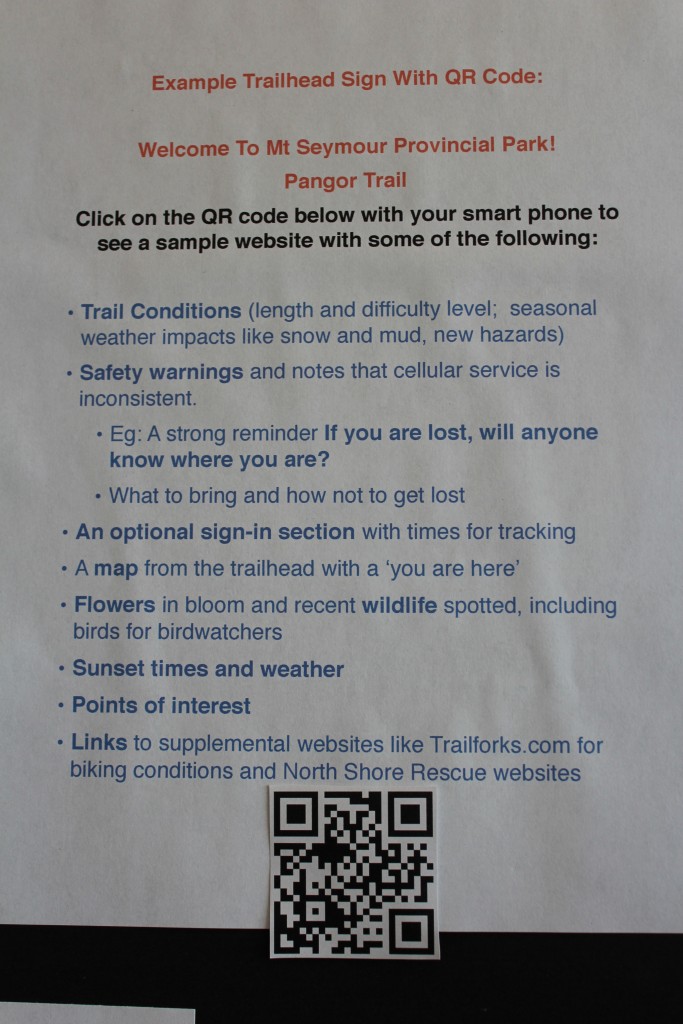
Then I worked on the website prototype for a QR code on a biking trailhead sign. Here are the topics that could be put on a sign that would have a QR code on the bottom for a smart phone to click on for more information:
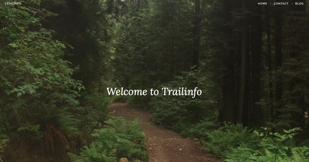
So when the trail user clicks on the QR code with a smart phone scanning app, the website prototype shows up on the phone screen. For the prototype website for the Blue Sky exhibition, I had to find a name and I chose Trailinfo so people understand what it is about. See the top of this blog for a photo of the starting point of the website. I set it up as a blog website. The first entry has a photo of a flower I took on the trail and the first post is called Getting Ready and Being Prepared. There are safety warnings about letting other people know where you are going and how to avoid getting lost and what to do if you are lost. That is the most important for safety. Since I am most interested in biking, I added a couple of biking trail photos and trail information for Boogieman, Corkscrew and Pangor. Future information could include what people are seeing for seasonal vegetation and wildlife and an option to sign in. Here is some key safety information on the website:
=========================
KEY SAFETY WARNINGS:
Communication and Sign-In:
IF YOU GET LOST, WILL ANYONE KNOW WHERE YOU ARE? Call or text 2 people while there is still reception to tell them which trail will be taken; who is going and expected return time.
Bring a cell phone with a fully charged battery. Turn it off and store it in a ziplock bag to keep it dry and charged. Learn how to get GPS coordinates from your smartphone to give location to rescuers if you are hurt or lost. Be careful. Cellular service is inconsistent.
Future website development will include an option to sign in for the trail with the time you left and when you expect to return.
AVOID GETTING LOST AND WHAT TO DO IF YOU ARE LOST: (SOURCE: NORTH SHORE RESCUE) For more details see http://www.northshorerescue.com/education/avoid-getting-lost/
-Leave A message with a friend about your destination, route, others with you and return time.
-Never bike or hike alone
-Be physically prepared for the trail by being fit and sticking to your plan and leave enough time to get back.
-Do not panic if you get lost. You will be fine if you are prepared. Stay where you are. Help will come.
-Do Not Go “Downhill” off the trail. On the North Shore, going downhill often leads to dangerous natural drainages. These drainages have the common features of very thick bush, steep cliffs, and waterfalls.
-Use Signaling Devices. Blowing a whistle, lighting a fire, and staying visible will help searchers find you.
-Build or Seek Shelter. Make sure you are still visible from the air.
WHAT TO BRING:
-Refer to the North Shore Rescue’s The 10 Essentials http://www.northshorerescue.com/education/what-to-bring/
It covers off everything for the trail enthusiast who is going to tackle the more challenging trails.
BIKERS: Remember, you should have an extra tube, pump, multi-tool (Allen keys) and chain break, water
========================
EXHIBITION:
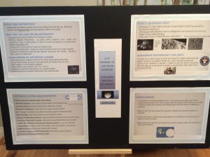
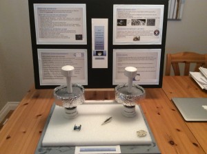
For my section of the exhibition, I put together a poster board that explained the problem being addressed and my solution. I explained how the QR code on the trailhead sign would work and how I built the website prototype with the subject matter expert content. Then I showed an existing trailhead sign (Pingu) that shows there isn’t much information on it. Then I showed a prototype trailhead sign with lots of topics and the QR code that takes people to the prototype website. I had my macbook there to show the website and people who visited my exhibit could click on the QR code with their scanning app on their iPhone and it would take them to the website I built.
For the group work, I was in the Safety group. To help show our safety theme, we put up yellow caution tape in our area. We also put up white paper to show that it was a clean, sterile and healthy area. During the exhibition a lot of people who stopped by said my Blue Sky idea was great.
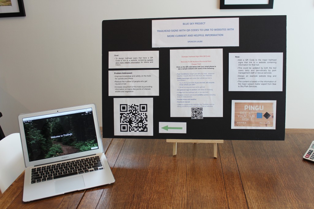
Feel free to go and check out the pilot website at https://trailinfo.wordpress.com.

Reflecting on the Blue Sky project: I had fun doing this project and I learned a lot. I had fun because I really enjoy mountain biking and I got to go on the trails to do research. I learned a lot from my main subject matter expert from Sea to Sky Parks about what is on the trails and how to stay safe. I also learned about how to build a website. This was harder than I thought and took longer than I thought it would. It was hard to edit some sections. It was fun to combine learning with a sport I like and it was interesting to combine technology with nature. I like that I got so much positive feedback from people who I talked to about it. People who couldn’t come to the exhibition are asking to see how it works. Some people said it could help save lives and that is pretty awesome!!
