One day, something interesting happened. That interesting thing was a school project. I will tell you about it. All you need to do is read, what are you waiting for?
Hello everyone, I’m here with one of the first blog posts in a while, because it was summer! But it isn’t now. Boo.
Welcome back, thanks for reading, and without further ado, my blog post!
So, starting this year off in typical PLP fashion, we had maybe two weeks of school before we were no longer at it, and by that I mean another field school! This one was really fun, and also exhausting, because we went to the Rocky Mountains! Now you may be wondering a few things:
- A) which Rocky Mountains?
- B) what did you do?
- C) what did you learn?
Well curious reader, what amazing questions, you have asked them so well, that I have no choice but to answer them, so I indeed shall.
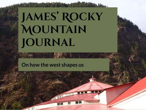
- A) we went to the Canadian Rocky Mountains. The ones below. They were awesome.

B) we created a Multi-Touch book to show what we learned about the places that we went, and our driving question: “how does the geography of the west shape who we are?” It also shows off the videos that we created for maker, if you want to learn more about that, click the button above. I hope you like the book!
Cool, hope you enjoyed having a look at what we did during the project.
C) what did we learn?
We learnt about how the Rocky’s were formed, and loads about snow management on the highways and loads of other facts. But facts only get you so far, what skills did we learn, what tools that we can use again for other projects? Well, we learned how to gather data and present it in a meaningful way, how to adapt when traveling, and how to create a showcase of what we learned. We also learned many things while on the trip, and of course we learnt about how the geography of the west shape3s us. The CPR railway connected Canada and brought it together by transporting ideas, things, and people all over what is Canada today.
Thanks for reading!

Leave a Reply